Digital Twin of Nature Aids Conservation Efforts
A digital twin of the Jack and Laura Dangermond Preserve is being used to test conservation solutions virtually, offering insights into natural processes and aiding in data-driven decision-making.

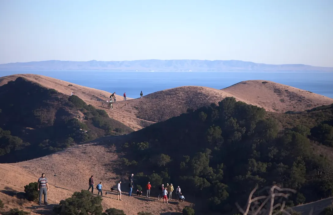
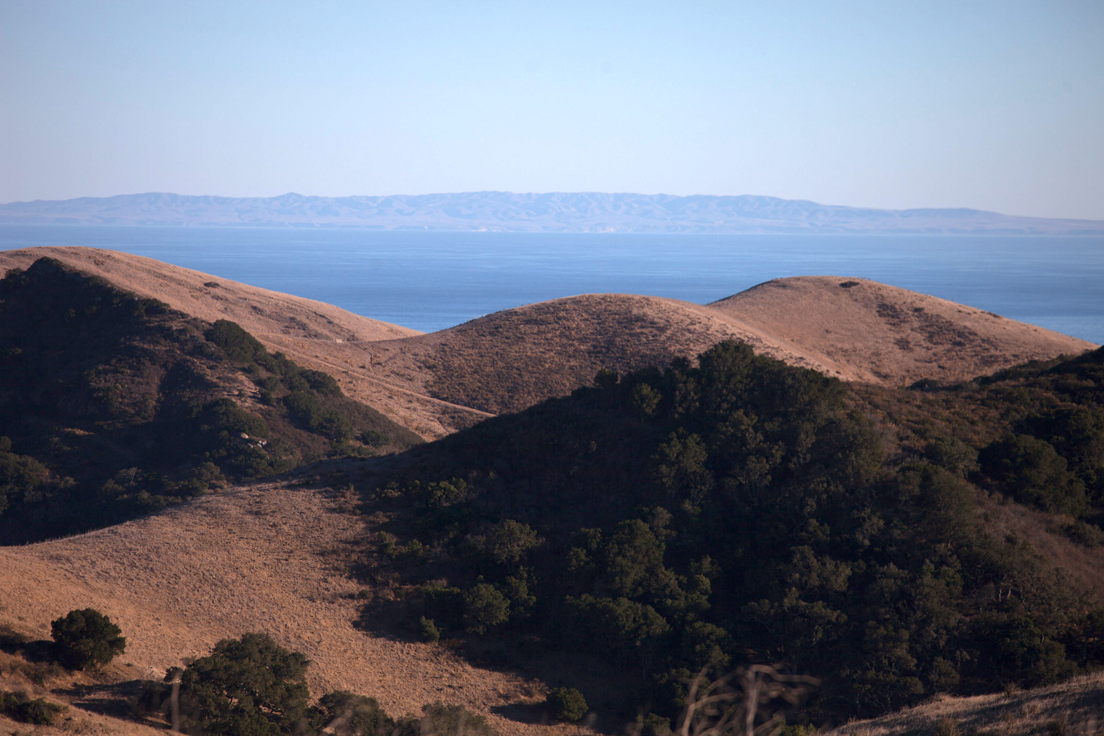
The Dangermond Preserve, located at Point Conception in Southern California, is a globally important site for conservation due to its unique geography, where cold currents from the north Pacific Ocean collide with warmer water from the Santa Barbara Channel, creating diverse habitats for marine and terrestrial species (Source ID: 1). This area is now the focus of one of the first digital twins of nature, developed by the Nature Conservancy's Point Conception Institute and the Center for Spatial Science at the University of California, Santa Barbara (UCSB), in partnership with Esri. This digital twin includes nearly 1,000 GIS data layers representing various aspects of the preserve, such as hydrology, soils, wildlife, roads, and infrastructure. [1]
The digital twin functions as a virtual environmental system, enabling data-driven decision-making in conservation by magnifying spatial processes to show the hidden architecture of ecosystems (Source ID: 1). It connects more than 120 research projects at 50 partner institutions focused on species recovery and managing healthy landscapes, seascapes, and watersheds. The digital twin is built on an automated data pipeline architecture that ingests continuous streams from Internet of Things (IoT) sensors, wildlife cameras, and third-party scientific APIs such as eBird and the Global Biodiversity Information Facility (GBIF). [1]
The Dangermond Preserve Research and Discovery Digital Twin is a living example of open science in action, making data and GIS tools easily accessible to people around the world (Source ID: 1). It allows users to explore and use rich GIS data for interdisciplinary research or to teach topics ranging from wildlife conservation to hydrology to GIS. The next phase of development for the digital twin will focus on running real-time analytics through ArcGIS Velocity and building dynamic visualization tools that allow users to highlight changes in spatial patterns over time. [1]
The Dangermond Preserve, located at Point Conception in Southern California, is a globally important site for conservation due to its unique geography, where cold currents from the north Pacific Ocean collide with warmer water from the Santa Barbara Channel, creating diverse habitats for marine and terrestrial species (Source ID: 1). The digital twin functions as a virtual environmental system, enabling data-driven decision-making in conservation by magnifying spatial processes to show the hidden architecture of ecosystems (Source ID: 1). This article first appeared at ArcNews in November 2026. The Dangermond Preserve, which sits at Point Conception, is one of the last remaining stretches of wild coast in Southern California (Source ID: 1). [1]
Advertisement
The Nature Conservancy’s (TNC) Point Conception Institute and the Center for Spatial Science at the University of California, Santa Barbara (UCSB), have partnered with Esri to create one of the first digital twins of nature at the Jack and Laura Dangermond Preserve — a 24,364-acre property owned and managed by TNC (Source ID: 1). Now, this digital twin — with nearly 1,000 GIS data layers representing everything from hydrology and soils to wildlife, roads, and infrastructure — is available for anyone to access (Source ID: 1). [1]
The vision for the Dangermond Preserve Research and Discovery Digital Twin is to create a virtual environmental system that functions like a research lab, enabling data-driven decision-making in conservation based on spatial and temporal patterns (Source ID: 1). Similar to how molecular scientists use microscopes to see the unseeable, a digital twin of nature magnifies spatial processes to show the hidden architecture of ecosystems (Source ID: 1). [1]
The Dangermond Preserve Research and Discovery Digital Twin is a living example of open science in action, as it provides access to nearly 1,000 GIS data layers that represent various aspects of the preserve, including hydrology, soils, wildlife, roads, and infrastructure (Source ID: 1). This digital twin is available for anyone to access, enabling interdisciplinary research and educational activities related to conservation and environmental science (Source ID: 1). [1]
The digital twin functions as a virtual environmental system, allowing conservation scientists and practitioners to experiment, fail, and fix things before reality catches up (Source ID: 1). Similar to how molecular scientists use microscopes to see the unseeable, a digital twin of nature magnifies spatial processes to show the hidden architecture of ecosystems (Source ID: 1). [1]
Advertisement
At the core of the Dangermond Preserve Research and Discovery Digital Twin is an automated data pipeline architecture that ingests continuous streams from Internet of Things (IoT) sensors, wildlife cameras, and third-party scientific APIs such as eBird and the Global Biodiversity Information Facility (GBIF) (Source ID: 1). This technology enables real-time analytics and dynamic visualization tools that highlight changes in spatial patterns over time (Source ID: 1). [1]
The Dangermond Preserve Research and Discovery Digital Twin is a living example of open science in action, as it provides access to nearly 1,000 GIS data layers that represent various aspects of the preserve, including hydrology, soils, wildlife, roads, and infrastructure (Source ID: 1). This extensive dataset allows researchers to explore and analyze the preserve’s complex ecosystems in unprecedented detail. The digital twin functions as a virtual environmental system, enabling conservation scientists and practitioners to experiment, fail, and fix things before reality catches up (Source ID: 1). This capability is particularly valuable in testing conservation solutions without risking real-world ecosystems. [1]
At the core of the Dangermond Preserve Research and Discovery Digital Twin is an automated data pipeline architecture that ingests continuous streams from Internet of Things (IoT) sensors, wildlife cameras, and third-party scientific APIs such as eBird and the Global Biodiversity Information Facility (GBIF) (Source ID: 1). This integration of diverse data sources enhances the accuracy and relevance of the digital twin, making it a powerful tool for conservation planning. The digital twin’s ability to magnify spatial processes allows scientists to see the hidden architecture of ecosystems, which can inform more effective conservation interventions (Source ID: 1). [1]
The next phase of development for the digital twin will focus on running real-time analytics through ArcGIS Velocity and building dynamic visualization tools that allow users to highlight changes in spatial patterns over time (Source ID: 1). These tools will enable users to flag unexpected patterns in observed data, compare observed and modeled data, and assess various modeled outputs. The digital twin will also include a suite of tools for users to develop and run their own scientific models, allowing predictive solutions to be tested and deployed virtually before implementing them in the real world (Source ID: 1). [1]
Advertisement
The Cali Reporter newsletter
The stories worth your time.
California, the country, and what comes next. Join our free newsletter for reporting that keeps you informed.
More in Santa Barbara
- Dedication Ceremony for World War I Memorial Oaks Display
A dedication ceremony was held for the newly installed story board panels at Loon Point Park, commemorating local World War I veterans and the revitalized Memorial Oaks site.
- Women’s Fund Awards $100,000 to Seven Local Nonprofits
The Women’s Fund of Santa Barbara has launched its Small Grants Pilot Program, distributing $100,000 to seven local nonprofits addressing critical needs in the community.
- SBCC Women's Water Polo Team Advances to State Tournament
The Santa Barbara City College Women’s Water Polo team secured the South’s No. 3 seed at the state tournament after splitting its final day of the SoCal Championship.